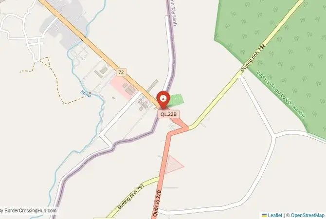
Approximate Border Location
Wait Times
30–60 min typical
Just crossed? Tap to report:
Operating Hours
Open 7:00 AM–5:00 PM
Crossing Types
Pedestrians, vehicles
Border Type
Land crossing via road
Peak Times
7:00–10:00 AM, weekends
Daily Crossings
1,800–2,200 crossings
Currency Exchange
Limited exchange (KHR, VND)
Safety Information
Safe, traffic moderate
Languages Spoken
Khmer, Vietnamese, English
Accessibility Features
Ramps, assistance
About Trapeang Phlong & Xa Mat
Monthly Update (March 2026):
In recent weeks of 03/2026, the Trapeang Phlong & Xa Mat Border Crossing runs steadily with cargo trucks and local vehicles crossing between Cambodia and Vietnam. Truck inspections sometimes stretch the waits near customs. Early morning usually moves faster. Trade shipments shape the daily flow.
No Cell Service at the Border? No Problem.
Don’t get caught scrambling for paperwork when you lose signal. Download the complete Asia Transit Guide directly to your device and access every critical detail, fast-track strategy, and border rule – 100% offline.
The Trapeang Phlong-Xa Mat Crossing: The Central Route
The border crossing at Trapeang Phlong in Tboung Khmum Province, Cambodia, which connects to the Vietnamese post of Xa Mat in Tay Ninh Province, is a secondary but significant international gateway. It is located on National Highway 7, providing a direct route from the major Cambodian city of Kampong Cham to Ho Chi Minh City in Vietnam. This crossing is not as busy as the main Bavet-Moc Bai superhighway to the south, but it is a major commercial route, particularly for agricultural products like rubber and cassava from the plantations of eastern Cambodia. For the traveler, it offers a quieter, less crowded, and more rural alternative to the main crossing. The landscape is one of rolling hills and vast rubber plantations. The atmosphere is more functional and agricultural than touristic, a passage through the economic heartland of the Cambodia-Vietnam border region.
A History on the Ho Chi Minh Trail
The history of this border is deeply connected to the Vietnam War. The region of eastern Cambodia, known as the “Fishhook,” was a major sanctuary and logistical base for North Vietnamese and Viet Cong forces. The area around the modern Trapeang Phlong-Xa Mat crossing was a key part of the Ho Chi Minh Trail network. It was the scene of major military operations, including the controversial American bombing and invasion of Cambodia in 1970, which aimed to destroy these sanctuaries. The entire region is dotted with historical sites related to this period. After the war, the border was formalized, and in recent years, it has been upgraded into a major international checkpoint. The development of the crossing is part of an effort by both governments to boost trade and to bring economic development to these historically sensitive and war-torn provinces. It is a border that has been transformed from a secret military trail into a public commercial highway.
The Border Crossing Procedure: A Straightforward and Quiet Process
This is a relatively quiet border for passengers, and the process is generally very smooth and can be completed in under an hour. The border is open from 07:00 to 17:00 daily. You must have a valid visa for the country you are entering, obtained in advance. Visas on arrival are not available at this land border.Exiting Cambodia (Trapeang Phlong): The Cambodian immigration and customs post is a modern, quiet facility. You will present your passport to the immigration officer and receive your exit stamp. The customs check is usually a very brief formality. The officials are professional and friendly, and the lack of queues makes this a very relaxed process.The No-Man’s-Land: You will then proceed a short distance through a quiet, rural no-man’s-land, often passing through vast rubber plantations, to the Vietnamese side of the border.Entering Vietnam (Xa Mat): The Vietnamese border post at Xa Mat is also a modern and efficient facility. You will enter the immigration hall and present your passport and your pre-arranged Vietnamese visa (or e-visa printout). The officer will process your entry and give you a stamp. After immigration, your luggage will be passed through an X-ray scanner for a customs check. The Vietnamese officials are professional and the process is generally efficient and hassle-free.
Route, Onward Travel, and Kampong Cham
On the Cambodian side, the main starting point is the city of Kampong Cham, a charming and relaxed city on the banks of the Mekong River. From Kampong Cham, it is about a 2-hour drive on a good paved road to the Trapeang Phlong border. You can hire a private or shared taxi. On the Vietnamese side, from the Xa Mat border, it is about a 2.5 to 3-hour drive to Ho Chi Minh City. There are usually shared taxis or minibuses waiting at the border. This crossing is also the gateway to the Cao Dai Holy See in the Vietnamese city of Tay Ninh, a spectacular and unique religious site that is a major attraction. The Xa Mat National Park is also located near the border on the Vietnamese side. This crossing is the most logical route for any traveler who has been exploring the central Mekong region of Cambodia and is heading to Ho Chi Minh City.
Final Planning Advice for the Central Route
The Trapeang Phlong-Xa Mat crossing is an excellent and highly recommended alternative to the main Bavet-Moc Bai border. It is quieter, more relaxed, and offers a journey through a more rural and historically significant landscape. The key to a smooth crossing is to have your Vietnamese visa or e-visa sorted out well in advance. Visas on arrival are not available at this land border. The transport on both sides is readily available, though you may need to wait for a shared taxi to fill up. The journey it enables, from the tranquil Mekong city of Kampong Cham to the bustling metropolis of Ho Chi Minh City, via the historic heart of the Ho Chi Minh Trail, is a fascinating one. It is a border that offers a more personal and less stressful passage between the two countries.
No reviews yet.