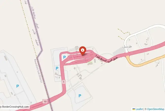
Approximate Border Location
Wait Times
30–120 min
Just crossed? Tap to report:
Operating Hours
Open 12:00 AM–11:59 PM
Crossing Types
Pedestrians, vehicles, freight
Border Type
Land crossing via road
Peak Times
7:00–10:00 AM, weekends
Daily Crossings
1,500–2,500 daily
Currency Exchange
Exchange nearby; IQD, JOD
Safety Information
Security screenings
Languages Spoken
Arabic/Arabic
Accessibility Features
Ramps, elevators
About Ruwaished & Turaibil (Karameh)
Monthly Update (March 2026):
As of 03/2026, the Ruwaished & Turaibil Border Crossing handles steady freight movement between Iraq and Jordan. Long-haul trucks queue for customs checks while passenger cars pass a bit faster. Late morning usually brings the most activity. Trade convoys and regional security checks influence the pace.
No Cell Service at the Border? No Problem.
Don’t get caught scrambling for paperwork when you lose signal. Download the complete Asia Transit Guide directly to your device and access every critical detail, fast-track strategy, and border rule – 100% offline.
A Crossing in the Desert Highway
Important Note for Travelers: This border crossing is located in a region with a highly volatile and dangerous security situation. The Anbar Province of Iraq has been a major conflict zone. The crossing can be closed without notice due to security threats. Travel to this region is extremely dangerous and strongly discouraged. It is absolutely essential to consult official government sources and your own country’s travel advisories for the most up-to-date information on the security situation and entry procedures before planning any travel. The border crossing connecting Turaibil in Iraq with Al-Karameh in Jordan is the only official land border between the two nations. This is not just a border; it is a journey through the vast, arid, and often dangerous expanse of the Syrian Desert. It is a critical artery for trade, a strategic lifeline for Iraq’s connection to the wider Arab world, and a route of immense geopolitical significance. To cross here is to travel a long, lonely highway through a landscape of sand and rock, a passage defined by its isolation, its importance to regional commerce, and the ever-present security challenges that have plagued this historic corridor.
Operational Details
This checkpoint connects the Al-Anbar Province of Iraq with the Mafraq Governorate of Jordan. It is a major international crossing, and under stable conditions, it operates 24/7 for commercial freight and with specific hours for passenger traffic. The facility is large, designed to handle a significant volume of trucks and buses. It is the main route for Iraqi goods heading to the Jordanian port of Aqaba and for Jordanian goods entering Iraq. The crossing is located in an extremely remote part of the desert, with the nearest major cities, Amman in Jordan and Ramadi in Iraq, being hundreds of kilometers away.
A History of a Strategic Corridor
The history of this route is the history of the desert highway. For centuries, this was a path for camel caravans and Bedouin tribes. The modern border was established after World War I with the creation of the states of Iraq and Transjordan under British mandate. The highway was built as a strategic link. During the years of sanctions against Saddam Hussein’s regime, this crossing became a vital lifeline for Iraq, with convoys of oil tankers and trucks forming the backbone of the “oil-for-food” program. After the 2003 US-led invasion, the highway became a notorious and dangerous route, a frequent target for insurgent attacks. In 2014, the crossing was captured by the Islamic State (ISIS), who held it for several years, severing this vital artery. Its recapture and reopening was a major strategic victory for Iraqi and Jordanian forces.
Border Crossing Procedure
The border crossing procedure is a complex, multi-stage, and extremely thorough process, reflecting the high-security nature of the location. You will first complete exit formalities at one country’s checkpoint, which involves multiple stops for passport control, customs, and security checks. You will then drive through a long neutral zone to the other country’s checkpoint for their entry inspection. You will need a valid passport and visas for both countries, which must be obtained in advance. Vehicle registration and international insurance are also necessary. Expect detailed inspections of your vehicle and luggage, and be prepared for a very slow and meticulous process. The security presence on both sides is extremely high.
The Surrounding Region: Iraq Side
On the Iraqi side, the crossing is in the vast Al-Anbar Province, the largest in Iraq. The area is a harsh desert landscape. The road from the border leads towards the city of Ramadi and the infamous city of Fallujah, both of which were major centers of the insurgency and the war against ISIS and have been heavily damaged. The journey through Anbar is extremely dangerous, with the risk of IEDs, ambushes, and a volatile security situation.
The Surrounding Region: Jordan Side
On the Jordanian side, the crossing is in the Mafraq Governorate, part of the eastern Jordanian desert, known as the Badiya. The nearby town of Ruwaished is a small service center for the highway. The road from the border leads towards the capital city, Amman. The region is known for its “desert castles,” a series of beautiful and unique early Islamic palaces and hunting lodges that are scattered throughout the eastern desert, such as Qasr Kharana and Qasr Amra, a UNESCO World Heritage site.
Practical Travel Information
Travel on this route is strongly discouraged for independent tourists. The security situation is extremely precarious. The official currencies are the Iraqi Dinar (IQD) in Iraq and the Jordanian Dinar (JOD) in Jordan. Services are extremely limited on the long desert highway. You must be completely self-sufficient with fuel, food, and water. Travel in a convoy is often a necessity. The climate is one of extreme heat in the summer and cold in the winter.
Final Considerations
The Turaibil–Karameh border crossing is a journey through one of the most challenging and dangerous regions in the Middle East. It is a vital economic artery that operates under the constant shadow of conflict. It is a testament to the resilience of the truck drivers and traders who brave the desert highway to keep their economies alive. For the traveler, it is a route that is best observed from afar, a powerful symbol of the deep-seated instability that continues to plague this historic and beautiful, but deeply troubled, part of the world.
No reviews yet.