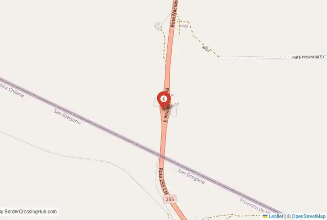
Approximate Border Location
Wait Times
90–180 min vehicles
Just crossed? Tap to report:
Operating Hours
08:00 AM–06:00 PM
Crossing Types
Vehicles; ferry
Border Type
Land crossing via ferry/road
Peak Times
07–10 AM; summer
Daily Crossings
0.7k–1.3k/day
Currency Exchange
ARS/CLP nearby
Safety Information
Remote route; harsh weather
Languages Spoken
Spanish
Accessibility Features
Ramps
About Punta Arenas & Río Gallegos
Monthly Update (February 2026):
Windy roads and long-distance buses set the pace near the Punta Arenas & Río Gallegos Border Crossing. By February 2026, things feel mostly stable, with smoother movement earlier in the day. Vehicles heading into Chile tend to take longer than those going the other way. Weather shifts in Patagonia are what most often stretch waits.
A Crossing in the Heart of Patagonia
The border crossing connecting the area near Río Gallegos in Argentina with the region of Punta Arenas in Chile is a journey into the vast, windswept heart of Patagonia. Officially known as the Paso Integración Austral, this is the main and busiest checkpoint in the far south of the continent. To cross here is to travel a route that is a vital lifeline for the Chilean part of Tierra del Fuego, a passage through a landscape of immense, empty plains, a place defined by the fierce Patagonian wind, the vast sky, and the deep, shared history of this remote and beautiful land.
Operational Details
This checkpoint connects the Santa Cruz Province of Argentina with the Magallanes Region of Chile. It is a major international crossing, open 24/7, but it can be subject to temporary closures due to the extreme weather conditions, particularly the high winds that can make driving dangerous. The crossing is an integrated checkpoint, with both Argentine and Chilean officials housed in a single, large, modern facility on the Chilean side. This streamlines the process, as travelers only have to stop once to complete all formalities for both countries. It is the main route for all traffic heading to and from the Chilean part of Tierra del Fuego and the city of Punta Arenas.
A History of a Patagonian Frontier
The history of this region is the history of the settlement of Patagonia. For centuries, this was the land of the indigenous Tehuelche people. In the late 19th and early 20th centuries, the area was colonized by European settlers, who established vast sheep ranches (estancias). The border was demarcated through this sparsely populated land. The crossing became a vital link, especially for Chile, as the Magallanes region is geographically isolated from the rest of the country, and all land transport must pass through Argentina. The open and cooperative nature of this border is a practical necessity for the survival and prosperity of the region.
Border Crossing Procedure
The border crossing procedure is a well-organized, integrated process. At the single checkpoint facility, you will proceed through a series of windows for both Argentine and Chilean immigration and customs. You will need a valid passport. Many nationalities can enter both countries visa-free for short stays, but it is essential to check the specific requirements for your nationality in advance. Vehicle registration and international insurance are also necessary. A key part of the process is the strict agricultural inspection by Chilean authorities (SAG), who prohibit the entry of most fresh fruits, vegetables, and animal products; declare all such items (fines high for non-declaration).
The Surrounding Region: Argentina Side
On the Argentine side, the crossing is a short drive from the city of Río Gallegos, the capital of the Santa Cruz province. Río Gallegos is a major service center for the region’s sheep farming and oil industries. The road from the border is part of the famous Ruta 3, the main highway that runs down the entire Atlantic coast of Argentina. The region is a gateway to the spectacular attractions of Argentine Patagonia, including the Perito Moreno Glacier near El Calafate and the hiking mecca of El Chaltén.
The Surrounding Region: Chile Side
On the Chilean side, the crossing is the gateway to the Magallanes region. The main destination is the historic city of Punta Arenas, situated on the Strait of Magellan. Punta Arenas was a major port before the opening of the Panama Canal and has a rich history, with beautiful mansions from the era of the wool barons. The city is the main base for exploring the magnificent Torres del Paine National Park, one of the most famous hiking destinations in the world. It is also the main departure point for cruises to Antarctica and for visiting the penguin colonies on the nearby islands.
Practical Travel Information
Practical planning is essential for this route. The distances are vast, and the weather can be extreme and change rapidly. The Patagonian wind is a constant and powerful force. Ensure your vehicle is in excellent condition and that you have a full tank of fuel. The official currencies are the Argentine Peso (ARS) in Argentina and the Chilean Peso (CLP) in Chile. Services are available in the main cities, but the stretches in between are very empty. Check the road status before you travel, especially for wind warnings.
Final Considerations
The Paso Integración Austral is a journey into the heart of Patagonia. It is a modern, efficient checkpoint in the middle of a wild and spectacular landscape. It is a route that requires careful preparation but rewards the traveler with some of the most stunning and dramatic scenery on the planet. It is a passage that connects the vast plains of Argentina with the fjords and mountains of Chilean Patagonia, a journey through the “uttermost part of the earth” that is truly unforgettable.
No reviews yet.