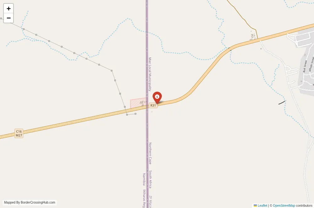
Approximate Border Location
Border Countries
- 🇳🇦Namibia
- 🇿🇦South Africa
Border Cities
- 🇿🇦Klein Menasse
- 🇳🇦Rietfontein
Wait Times
Cars 10-60m; peaks 90-240m
Just crossed? Tap to report:
Operating Hours
08:00 AM-04:30 PM
Crossing Types
Ped,cars; limited freight; controls
Border Type
Land crossing via rural road
Peak Times
08:00-10:00 AM; 02:00-04:00 PM
Daily Crossings
300-2,000/day
Currency Exchange
NAD/ZAR; ZAR; ATMs in towns
Safety Information
Remote desert roads; limited services
Languages Spoken
English, Afrikaans
Accessibility Features
Basic; uneven approaches
About Qacha’s Nek & Qacha’s Nek
Monthly Update (March 2026):
As of 03/2026, the Qacha’s Nek & Qacha’s Nek Border Crossing stays moderately active with steady vehicle traffic through the mountain pass. Cars often gather briefly on the Lesotho side during inspections. Early mornings usually move quicker. Weather in the highlands can sometimes slow the approach roads.
No Cell Service at the Border? No Problem.
Don’t get caught scrambling for paperwork when you lose signal. Download the complete Africa Transit Guide directly to your device and access every critical detail, fast-track strategy, and border rule – 100% offline.
The Qacha’s Nek-Qacha’s Nek border crossing serves as a high-altitude, scenic land connection between Lesotho and South Africa, positioned right at the town of Qacha’s Nek where Lesotho’s Qacha’s Nek District meets South Africa’s Eastern Cape Province. You usually reach this point when traveling overland from Maseru or Mokhotlong in Lesotho toward Matatiele or Kokstad in South Africa, or when exploring the rugged Maloti-Drakensberg landscapes that straddle the frontier. Alternative names include Qacha’s Nek Border Post (Lesotho side), Qacha’s Nek Border Post (South Africa side), or simply the Qacha’s Nek crossing.
Location and Basic Connection
Qacha’s Nek town straddles the border itself, with the Lesotho immigration office on one side of the main road and the South African office on the other, separated by only a few hundred meters. The crossing sits at an elevation of around 1,980 meters in the Maloti Mountains, connecting Lesotho’s A4 road (from Maseru) to South Africa’s R56 route toward Matatiele. It handles passenger vehicles, minibuses, motorcycles, and local foot traffic in a dramatic highland setting of rolling hills, rocky outcrops, and distant peaks.
Historical Background
The border line follows colonial-era agreements between British Basutoland and the Cape Colony, with the town of Qacha’s Nek established in the late 19th century as a trading and administrative post. Named after Chief Moorosi’s son Qacha, the area saw tensions during the Gun War of 1880-1881 and later became a quiet frontier post. Post-independence for Lesotho in 1966 and the end of apartheid in South Africa, the crossing supported small trade and family movements across the mountains. Recent years have seen minor infrastructure improvements under SADC regional initiatives, though it remains a low-key post compared to Maseru Bridge or Ficksburg-Maputsoe.
Current Operating Status
As of early 2026, the crossing operates daily from 08:00 to 17:00 or 18:00 local time (UTC+2 for both sides). It remains open without major reported disruptions recently. Lesotho offers visa-free entry for many nationalities (including South Africans and most Europeans for 90 days); South Africa provides visa-free entry or visa-on-arrival for eligible travelers (often 90 days). The post sees steady local and regional use, with occasional tourism traffic from the Drakensberg area. Confirm via embassies or recent traveler reports, as hours can adjust for holidays or weather-related road issues.
Practical Crossing Procedures
You cross by vehicle or on foot. From Lesotho at Qacha’s Nek, complete exit formalities at the immigration office on the Lesotho side for passport stamps and basic checks. Drive or walk the short distance (often just across the road) to the South African office for entry. South Africa requires document review, questions about purpose or accommodation, and possible luggage or vehicle inspections. Bring passport photos, cash for any minor fees, proof of funds, and onward travel details. The process typically takes 30 to 60 minutes for straightforward cases, with separate counters for people and goods. Facilities stay basic but functional, with limited services.
Wait Times and Peak Periods
Queues remain short due to modest foreign traffic, often clearing in under an hour. Early mornings or late afternoons move quickest. Peaks occur with local market days, seasonal trade, or holiday movements from Lesotho to South Africa, but this post avoids the long lines seen at Maseru Bridge. No significant backups reported recently.
Transportation Options
Minibuses and shared taxis run from Maseru or Mokhotlong to Qacha’s Nek in Lesotho. On South Africa’s side, connections head to Matatiele or Kokstad. Private vehicles cross with paperwork; use official lots for hires. No regular long-distance buses cross directly, but local minibus taxis often manage the border stop while you clear formalities. Roads on Lesotho’s side include tarred sections with potholes; South Africa’s R56 stays mostly paved but winding.
Scams and Safety Warnings
Scam reports stay low at this small post, but watch for touts offering “help” with forms or currency exchange at poor rates; ignore and use official counters. Petty overcharges for transport occur occasionally. The highland area feels low-risk during open hours, with no major crime noted. Mountain weather (snow in winter, fog) can affect driving; check forecasts. Both countries feel secure here, but standard border caution applies. Stick to marked zones and avoid unofficial deals.
Road Conditions and Scenery
Lesotho’s approach features tarred roads with potholes through dramatic mountains, valleys, and traditional villages. The border zone includes basic offices amid rocky hills. South Africa’s R56 winds through similar highlands with better paving. Scenery stands out: rugged Maloti peaks, grassy slopes, distant Drakensberg views, and occasional snow in winter. Dry season keeps roads clear; rain or snow adds hazards.
Seasonal Variations and Weather Impacts
Dry season (May-September) offers clearer roads and cooler temperatures. Wet summer (October-April) brings rain that worsens potholes and can cause mudslides. Winter snow occasionally closes high passes, though the crossing itself rarely shuts. Trade or tourism aligns with drier months, maintaining modest activity.
Nearby Attractions
Qacha’s Nek town offers basic markets and views of the surrounding mountains. Nearby Lesotho features Sehlabathebe National Park with hiking and rock art. In South Africa, Matatiele provides access to the Drakensberg and local culture. The area suits those interested in highland scenery, pony trekking, or quiet border exploration over major tourism.
Cultural and Economic Role
Local trade in agricultural goods, crafts, and essentials sustains the crossing, supporting community livelihoods. It enables family connections and small exchanges across the mountains. The post reinforces practical links in this remote highland frontier, aiding economic activity without the intensity of larger corridors.
Final Planning Tips
Arrive early with cash (USD or local currencies), printed documents, and offline maps. Prepare for high-altitude weather (cold nights, possible snow) and basic facilities. Check road conditions and status ahead via embassies or forums. With preparation, you manage formalities and enjoy the stunning mountain passage.
Wrapping Up the Crossing
Qacha’s Nek-Qacha’s Nek keeps things simple and scenic between Lesotho and South Africa. Time your visit for dry conditions, handle the basics, and it delivers a peaceful highland route through dramatic landscapes. Safe travels.
No reviews yet.