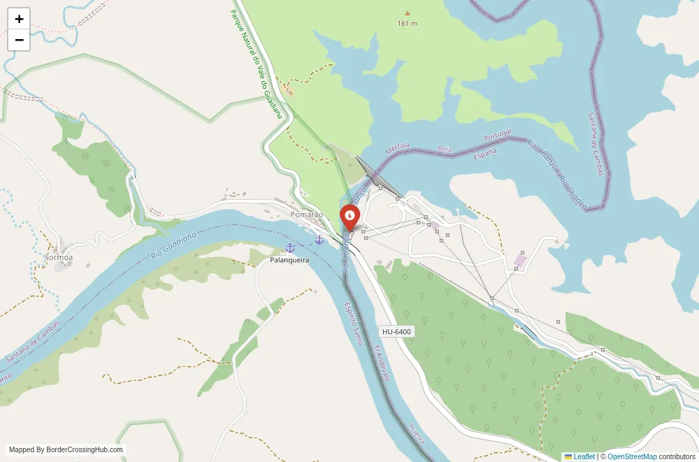
Approximate Border Location
Wait Times
Ferry/boat 10-45m; peaks 60-150m
Just crossed? Tap to report:
Operating Hours
Seasonal daylight 09:00 AM-07:00 PM
Crossing Types
Ped,bikes,cars via small ferry; limited
Border Type
Land crossing via road bridge (Guadiana)
Peak Times
10:00 AM-02:00 PM; summer weekends
Daily Crossings
200-900/day
Currency Exchange
EUR only; cash in villages; ATMs limited
Safety Information
Weather/riverrun affects service; plan ahead
Languages Spoken
Spanish/Portuguese
Accessibility Features
Ramps vary; uneven boarding surfaces
About Port de Cabús & Alins
Monthly Update (March 2026):
As of 03/2026, the Port de Cabús & Alins Border Crossing remains quiet and somewhat variable depending on mountain conditions. The rough mountain road keeps traffic light, mostly hikers and a few adventurous drivers. When the weather is clear, vehicles pass through without delay. Snow or fog in the Pyrenees can quickly slow or limit access.
No Cell Service at the Border? No Problem.
Don’t get caught scrambling for paperwork when you lose signal. Download the complete Europe Transit Guide directly to your device and access every critical detail, fast-track strategy, and border rule – 100% offline.
The Port de Cabús stands as a high-altitude mountain pass in the Pyrenees, placing you right on the remote border between Andorra and Spain at 2,328 meters above sea level.
Alternative Names
This point is known as Port de Cabús (Catalan/Andorran), Coll de Cabús, or the Cabús Pass. On the Spanish side it connects to Alins (in the Pallars Sobirà region of Catalonia).
Current Status and Safety Note
Andorra is not part of the Schengen Area or the EU, so this is technically an external Schengen frontier. Despite that, there are no permanent border controls, booths, or routine passport checks at Port de Cabús itself. You drive or ride straight across with no formalities. The road is paved on the Andorran side but turns to dirt/unpaved track immediately on the Spanish side, making it challenging and often only suitable for 4×4 vehicles, high-clearance cars, or bikes. The pass is typically open from May/June to October/November, but snow, ice, or poor weather can close it for much of the winter. Always check local conditions (Andorran or Catalan road services) before attempting it, as the last few kilometers on the Andorran approach have no guardrails and significant drops. The area is very remote with almost no traffic, so safety depends on preparation, weather awareness, and vehicle suitability.
Historical Background
The border here follows the long-standing Andorra-Spain frontier, shaped by medieval agreements and the 1278 pareage treaties that established Andorra’s unique co-principality status. Port de Cabús has served as a minor shepherding and smuggling route for centuries in these high Pyrenees valleys. The Andorran side saw road improvements in recent decades to support tourism and access to Vallnord ski area, while the Spanish side remains largely undeveloped forest track through the Alt Pirineu Natural Park.
Geopolitical and Economic Role
This is one of only a few secondary crossings between Andorra and Spain, far less used than the main routes at La Seu d’Urgell / Sant Julià de Lòria or Pas de la Casa. It mainly serves local herders, hikers, cyclists, and occasional tourists seeking quiet mountain access. The pass links the La Massana parish in Andorra (near Vallnord ski resort) to the isolated Farrera Valley and Alins in Catalonia. Economic activity is minimal: some cross-border grazing and nature-based tourism.
Visa Requirements for Foreign Visitors
Andorra has no independent visa policy. Entry is governed by the rules of Spain or France (the only access countries). If you qualify for Schengen visa-free entry (most nationalities get 90 days in 180), you can enter Andorra via Spain without additional paperwork. Carry a valid passport at all times. If you require a Schengen visa for Spain, ensure it allows multiple entries so you can return to Spain after visiting Andorra. From late 2026, visa-exempt travelers transiting through Spain may need an ETIAS authorization; check current requirements before travel.
Crossing Procedures Step by Step
Drive or cycle the CG-4 road from La Massana (Andorra) up through the Arinsal valley and past the Vallnord ski area. The road is fully paved and climbs steadily to the pass. At the summit you reach a small parking area and border marker. No officials or barriers exist. The road ends here on the Andorran side. Continuing into Spain requires a 4×4 or high-clearance vehicle, as the descent becomes an unpaved, rocky forest track toward Tor and Alins. Pedestrians and cyclists can cross freely. No forms, stamps, or queues are involved. The reverse direction starts from the unpaved Spanish track and becomes paved once in Andorra.
Typical Wait Times and Peak Periods
Wait times are zero. There is no processing. Traffic is extremely low year-round; you may not see another vehicle for hours. Summer weekends and clear autumn days bring a few more cyclists and 4×4 explorers, but it never gets busy.
Operating Hours
The pass has no official hours. It is accessible whenever the road is open and passable (typically May/June to October/November). Winter closure is common due to snow; no plowing occurs on the high sections.
Transportation Options to and From the Border
From Andorra, drive or cycle the CG-4 from La Massana (about 17-18 km climb). No public transport reaches the pass itself. On the Spanish side, the descent is a rough track to Tor and Alins (not suitable for standard cars or buses). Most people turn around at the summit or treat it as an out-and-back route. Cyclists often use it as a challenging climb/descent. No trains or regular buses serve this exact point.
Road Conditions and Scenery
The Andorran CG-4 is fully paved, narrow in places, with tight hairpins and no guardrails on the final 2-3 km. The climb offers alpine meadows, pine forests, rocky peaks, and sweeping views over the Vallnord area. At the pass you stand at a high saddle with dramatic Pyrenees panoramas in all directions. The Spanish side immediately becomes unpaved dirt/rock track, steep and rough, passing through remote valleys, forests, and the tiny hamlet of Tor. Expect stunning high-mountain scenery: open pastures, distant peaks, and a true sense of isolation.
Seasonal Variations and Weather Impacts
Summer (June-September) provides the best conditions: dry, long daylight, and open road. Autumn can bring clear skies but early snow. Winter (November-April) usually closes the route with heavy snow and ice; no winter maintenance occurs. Always check weather forecasts and road status, as sudden storms or fog can make the upper sections hazardous.
Nearby Attractions
On the Andorran side, Vallnord ski resort and Arinsal village offer trails, mountain biking, and summer activities. In Spain, the village of Tor (just below the pass) is famous for its isolated setting and history (subject of a well-known book about local disputes). The Alt Pirineu Natural Park surrounds the area with hiking paths, wildlife (chamois, eagles), and Romanesque churches in the Farrera Valley. The nearby La Seu d’Urgell (main Andorra-Spain crossing) provides more services and historic sights.
Common Scams and Warnings
No scams are reported at this remote pass. The main risks involve the road itself: steep drops without barriers, sudden weather changes, poor mobile coverage, and the unpaved Spanish descent being unsuitable for normal vehicles. Carry food, water, warm layers, and recovery gear if driving. Do not attempt in bad weather or without suitable transport.
Travel Tips and Preparation
Check Andorran (mobilitat.ad) or Catalan road updates before going. Bring passport/ID, warm clothing, and offline maps. Fuel up in La Massana (Andorra). Cyclists should prepare for a demanding climb (about 1,000 m elevation gain from La Massana). Drivers need high clearance for Spain. This is an out-and-back route for most; the full loop through Tor is only for experienced off-road drivers.
Cultural and Economic Significance
This pass shows the quiet, high-altitude side of the Andorra-Spain frontier, where shepherding and nature dominate over commerce. It connects the modern ski tourism of Andorra with the traditional rural valleys of Catalonia’s Pallars Sobirà.
Final Planning Advice
Verify road openness and weather right before departure, especially outside summer. Bring essentials, choose your vehicle wisely, and take in the stunning high Pyrenees views. This remote pass delivers one of the most beautiful and least-visited ways to experience the Andorra-Spain border. Safe travels.
No reviews yet.