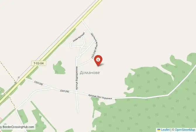
Approximate Border Location
Wait Times
20–60 min
Just crossed? Tap to report:
Operating Hours
6:00 AM–8:00 PM
Crossing Types
Pedestrians, vehicles
Border Type
Land crossing via road
Peak Times
7–10 AM
Daily Crossings
700–1,100 daily
Currency Exchange
Small offices; BYN, UAH
Safety Information
Isolated border; calm
Languages Spoken
Belarusian/Ukrainian
Accessibility Features
Basic ramps
About Domanove & Makrany
Monthly Update (April 2026):
The road stays mostly empty, with only occasional vehicles stopping at the booths. Through April 2026, Domanove & Makrany Border Crossing is mostly stable and quiet. Inspections are steady but not fast. Weather and regional movement patterns affect usage.
No Cell Service at the Border? No Problem.
Don’t get caught scrambling for paperwork when you lose signal. Download the complete South America Transit Guide directly to your device and access every critical detail, fast-track strategy, and border rule – 100% offline.
A Closed Major Corridor
Important Note for Travelers: Due to the ongoing war in Ukraine and the volatile political situation with Belarus, this border crossing is closed and the entire region is a high-risk security zone. It is not operational as of early 2026. This guide is provided for historical and informational purposes only. The border crossing connecting Makrany in Belarus with Domanove in Ukraine was one of the three major international checkpoints between the two nations. It is situated on the M12/E85 highway, a significant European route that connects the Baltic Sea with the Black Sea. This was not a local crossing; it was a bustling, 24/7 artery for freight and passenger traffic, a vital economic link between the Brest region of Belarus and the Volyn region of Ukraine. Its character was that of a workhorse, a place of constant motion and logistical importance, second only to the main Minsk-Kyiv route further east. Its closure has had a profound impact on regional trade and travel.
Operational Details
This checkpoint connected the Brest Region of Belarus with the Volyn Oblast of Ukraine. It was a full-service international crossing, open to all passenger cars and commercial freight. Its location on the E85 made it the most direct route for traffic moving from western Belarus towards the Ukrainian cities of Kovel, Lutsk, and Lviv. The facility was large and designed to handle a high volume of traffic, with separate lanes and processing areas for cars and trucks.
A History of a Strategic Route
The history of this route is tied to its strategic position. The road has long been an important connector between the historic regions of Polesie and Volhynia. The area has been part of the Polish-Lithuanian Commonwealth and the Russian Empire. The modern border, established in the 20th century, cut through this region. During the Soviet era, the road was developed as a key transport link. After the independence of Belarus and Ukraine in 1991, the Makrany-Domanove crossing became one of the most important points of interaction between the two new states, facilitating a booming cross-border trade and allowing for easy travel for the many families with relatives on both sides.
Former Border Procedure
The border crossing procedure, when it was operational, was a standard two-part process. Travelers would first complete exit formalities at the large Belarusian checkpoint at Makrany. This involved checks by border guards and customs officials. They would then proceed to the Ukrainian entry checkpoint at Domanove for a full inspection by the Ukrainian State Border Guard Service. A valid passport and vehicle documents, including international insurance (Green Card), were required. As a major freight corridor, the crossing was often congested, and queues, especially for trucks, were a common feature. Passenger cars could also experience significant delays, particularly during peak travel times.
The Surrounding Region
The surrounding region is part of the vast Polesie lowland, an area of forests, marshes, and agricultural land. On the Belarusian side, the crossing is near the town of Malaryta. The major city of Brest, with its famous fortress, is about an hour’s drive away. On the Ukrainian side, the crossing is the gateway to the Volyn region. The nearest major city is Kovel, an important railway hub. Further south is Lutsk, the administrative center of the oblast, which is home to the magnificent Lubart’s Castle, one of the best-preserved medieval castles in Ukraine. The region is also close to the Shatsk Lakes National Park, a popular recreational area.
Closure Due to War
The closure of the Makrany-Domanove crossing was an immediate and direct consequence of the full-scale Russian invasion of Ukraine in February 2022. Belarus’s role as a staging ground for Russian forces attacking from the north turned the entire Belarus-Ukraine border into a hostile and active conflict zone. All checkpoints were immediately sealed to prevent any further incursion and to ensure the security of Ukraine. The area has since been heavily militarized, with fortifications and defensive positions established, and remains closed as of early 2026.
Final Considerations
The Makrany and Domanove border crossing was once a vital economic and social artery, a symbol of the close relationship between post-Soviet Belarus and Ukraine. It was a place of bustling trade and routine travel. Today, it stands silent and fortified, a casualty of a brutal war. Its closure has not only disrupted a major trade route but has also severed the countless personal connections that it once facilitated. The empty highway at the border is a stark and powerful testament to the devastating impact of the conflict on the entire region.
No reviews yet.