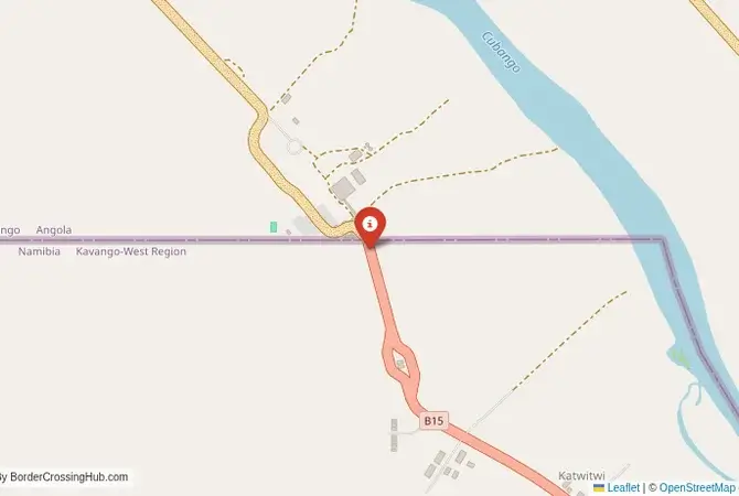
Approximate Border Location
Wait Times
30–60 min usual
Just crossed? Tap to report:
Operating Hours
Open 7:00 AM–5:00 PM
Crossing Types
Pedestrians, vehicles
Border Type
Land crossing via road
Peak Times
7:00–10:00 AM, weekends
Daily Crossings
1,400–1,600 crossings
Currency Exchange
Limited exchange (MWK, ZMW)
Safety Information
Safe, remote area
Languages Spoken
Chichewa, English
Accessibility Features
Ramps, assistance
About Kanyala & Katumbi
Monthly Update (March 2026):
As of 03/2026, the Kanyala & Katumbi Border Crossing stays quiet most of the day with only light vehicle movement between Malawi and Zambia. Document checks are usually quick. Traffic comes in short bursts around midday. Rural travel drives most crossings.
No Cell Service at the Border? No Problem.
Don’t get caught scrambling for paperwork when you lose signal. Download the complete Africa Transit Guide directly to your device and access every critical detail, fast-track strategy, and border rule – 100% offline.
The Kanyala-Katumbi Crossing: A Remote Northern Route
The border crossing at Kanyala in the Rumphi District of northern Malawi, which connects to the Zambian post of Katumbi, is a very remote and minor gateway between the two countries. This is not a major highway or a tourist route. It is a quiet, rural checkpoint on a rough, unpaved road, a passage through the wild and beautiful highlands that lie between the Nyika Plateau in Malawi and the Luangwa Valley in Zambia. This crossing is primarily used by local people and the occasional, extremely adventurous overland traveler with a high-clearance 4×4 vehicle. The facilities are very basic, the traffic is almost non-existent, and the atmosphere is one of profound isolation. For the traveler, this is a true off-road adventure, a journey into one of the most remote and least-developed parts of the Malawi-Zambia borderlands. It is a border for the serious explorer, not for the casual tourist.
A History of a Wilderness Frontier
The history of this border is the history of a wilderness. This region of high plateaus and deep valleys has always been sparsely populated. The colonial-era border, drawn by the British, cut through this remote landscape with little impact on the few people who lived there. The crossing at Kanyala-Katumbi has never been a major route. It has always been a simple, local checkpoint on a minor dirt track. Its significance comes from its location, providing a theoretical shortcut between the magnificent Nyika National Park in Malawi and the world-renowned South Luangwa National Park in Zambia. In reality, the terrible condition of the roads has always made this a very challenging proposition. The border is a testament to the enduring wildness of this part of Africa, a place where nature, not politics or commerce, is the dominant force. It is a frontier that has remained largely unchanged for a century, a quiet line in a vast, untamed landscape.
The Border Crossing Procedure: A Basic and Rustic Affair
This is a very quiet border, and its status as an international crossing for foreigners remains uncertain and not reliably equipped for tourists. You must verify that it is currently equipped and authorized to process your nationality before attempting to use it. The border is open from 06:00 to 18:00 daily.Exiting Malawi (Kanyala): The Malawian immigration and customs post is a very basic facility, likely a small, simple building. You will present your passport and get your exit stamp. The process will be manual, with your details recorded in a ledger. The officials may be surprised to see a foreign traveler and the process, while friendly, may be slow.The No-Man’s-Land: After clearing the Malawian side, you will proceed on a rough track through the bush to the Zambian side.Entering Zambia (Katumbi): The Zambian post will be equally basic. You must check in advance if they are able to issue visas on arrival. It is highly likely that they are not, and you would need to have a pre-arranged Zambian visa in your passport. You will present your passport and visa to the immigration officer. You will also need your yellow fever certificate. The customs process for a vehicle will be a manual, bureaucratic affair. You will need to purchase third-party insurance for Zambia, which may or may not be available for purchase at this remote post. The entire process requires a high degree of self-reliance and patience.
Route, Onward Travel, and Extreme Challenges
This crossing is for 4×4 vehicles only. The roads on both sides are unpaved, rough, and can be completely impassable during the rainy season (December to April). On the Malawian side, the road connects to the town of Rumphi and the entrance to the Nyika National Park. On the Zambian side, the road from Katumbi leads towards the town of Lundazi and eventually to the main road for the South Luangwa National Park. The journey is a long, slow, and arduous one, through a very remote area with no services of any kind. You must be completely self-sufficient with fuel, food, water, and vehicle recovery equipment. There is no public transport on this route. The main caveat for any traveler is the uncertainty. The border’s status, the road conditions, and the availability of services are all highly unpredictable. This is a route that requires extensive and detailed local research before it is attempted.
Final Contextual Note: A Route for Expeditionaries Only
The Kanyala-Katumbi crossing is a true overland expedition. It is not a border for tourists but for serious, well-equipped adventurers. The logistical challenges and uncertainties are immense. For 99.9% of travelers, the main Mchinji-Mwami crossing is the only sensible and viable option for traveling between Malawi and Zambia. The Mchinji crossing is on a paved highway, has full international facilities, and is well-served by public transport. The Kanyala-Katumbi crossing is a fascinating line on a map, a tantalizing shortcut between two of Africa’s greatest national parks. However, the reality on the ground is one of extreme difficulty and risk. It is a border that should only be attempted by the most experienced and self-reliant of overlanders, a journey into the deep, wild heart of the continent.
No reviews yet.