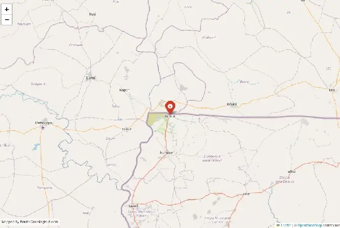
Approximate Border Location
Border Countries
- 🇧🇫Burkina Faso
- 🇬🇭Ghana
Border Cities
- 🇧🇫Hamile
- 🇬🇭Hamile (Ghana side)
Wait Times
20–60 min
Just crossed? Tap to report:
Operating Hours
6:00 AM–10:00 PM
Crossing Types
Pedestrian, cars
Border Type
Land
Peak Times
Morning, evenings
Daily Crossings
600–1800
Safety Information
Moderate traffic, safe
Languages Spoken
French,English
Accessibility Features
Basic ramps
About Hamile & Hamile (Ghana side)
Monthly Update (May 2026):
The Hamile & Hamile (Ghana side) Border Crossing is ticking along in a mostly stable fashion throughout May 2026. You’ll find the Ghana side often stretches the wait for vehicle inspections, though pedestrians usually zip through quite quickly. It’s a reliable spot, unless the late-season heat or a sudden local market day causes a bit of a bottleneck.
Introduction to the crossing
You arrive at a secondary but active land border in northern Ghana’s Upper West Region that connects directly into southern Burkina Faso. The crossing at Hamile on the Ghanaian side and Hamile (sometimes linked with nearby Ouessa) on the Burkinabé side serves local traders, residents, and occasional overland travelers moving between Wa or Bolgatanga areas and Burkina Faso’s southern regions. It ranks as one of the official but lesser-used posts compared to the busier Paga-Dakola route.
Position and connections
Hamile sits in Ghana’s Lambussie District while the Burkinabé side lies just across in the Centre-Sud or Sud-Ouest area. The border runs through savanna landscape with fields, small villages, and scrubland. It links roads from Wa in Ghana toward Gaoua or other points in Burkina Faso. Trade flows with goods like grains, livestock, and consumer items moving in both directions. For foreign visitors this point offers an alternative when exploring northern Ghana and southern Burkina Faso by road, though security and infrastructure influence its use.
Background details
The area has long supported cross-border communities with shared ethnic and family ties. Formal recognition as an official post dates back years, with some infrastructure upgrades through projects aimed at better border management. Recent incidents, including community tensions in 2025 over alleged irregularities, show how local dynamics and security spillovers from the Sahel can affect daily operations. Despite challenges, the post remains open for regular movement.
Signal can be a coin toss at borders, and the last thing you want is to be stuck at the gate hunting for info. We’ve pulled all our research for this region into one simple eBook that works 100% offline. It keeps everything you need in one spot so you can stay focused on the trip. Grab the guide here.
Operating hours
Officials typically keep the border open from early morning until around 6 PM. Both sides share the same time zone. Arrive well before closing time, especially since after-hours activity has triggered issues in the past. Schedules can shift with staffing or local events, so local confirmation helps where possible.
Crossing from Ghana into Burkina Faso
At the Ghana side in Hamile you handle exit formalities first. Officers check your passport and any vehicle documents. Then you move the short distance across to the Burkinabé side for entry. Burkina Faso requires visas for most nationalities, best obtained in advance. Present your yellow fever certificate and prepare for questions about your plans. Processing includes immigration and customs counters.
Entering Ghana from Burkina Faso
Clear exit on the Burkinabé side first. Cross and complete Ghana entry at Hamile. Many nationalities receive visa exemptions or on-arrival options for short stays in Ghana. Have proof of onward travel and sufficient funds if requested. Health and document checks form part of the routine.
Wait times and daily flow
With lower traffic than major posts, full crossings often take 30 to 90 minutes when steady. Market days or group movements add time. Security-related checks can extend waits depending on the situation. Rainy season from June to October brings mud that slows approach roads, while dry months allow more predictable passage.
Transport options
Shared taxis, minibuses, and motorbikes handle most movement here. From the Ghana side you find connections toward Wa or further south. On the Burkinabé side rides go toward nearby towns. No large bus station sits directly at the post, so arrange onward transport nearby after clearance. Travelers often combine segments with stops in regional hubs.
Roads and scenery
Approach roads mix paved sections with laterite surfaces that deteriorate in rain. You pass through agricultural areas, small settlements, and typical northern savanna terrain. Traffic includes taxis, trucks, loaded bikes, and pedestrians. Conditions feel rougher during wet months with potholes and occasional flooding. The immediate border stretch remains short and walkable.
Security situation and caution
This zone sits near areas affected by Sahel instability. Travelers should check official advisories closely and seek current information before crossing. Past incidents, including community unrest in 2025, highlight risks around after-hours activity and cross-border incidents. Stick to daylight hours, official procedures, and updated guidance. Many sources recommend strong caution for routes in the region.
Scams and traveler experiences
Smaller posts like this see occasional unofficial fee demands or helpers offering unnecessary services. Reports mention confusion with counters or extra charges. Recent events involved allegations of irregular crossings after hours. Carry exact change in local currencies (cedis and CFA francs), use only official buildings, and decline unsolicited assistance. Stay polite but firm and document your process.
Nearby spots
Hamile on the Ghana side features local markets and everyday border town life. The Burkinabé side offers similar rural insights. Further out you reach Wa in Ghana for regional exploration or Gaoua in Burkina Faso. The area appeals to those interested in authentic Sahelian border communities rather than major tourist sites.
Preparation steps
Verify visa and health requirements early. Bring yellow fever certificate, passport copies, and enough local currency. Download offline maps as signal can drop near the border. If driving, prepare vehicle temporary import papers. Dress modestly, travel during daylight, and monitor security updates for Upper West Region and adjacent Burkinabé areas right before your trip.
Economic and cultural role
The crossing supports local trade and family links across the boundary. Markets on both sides stay active with daily goods. It forms part of practical connections in the region despite security pressures and occasional tensions. Community cohesion remains strong among border residents.
Seasonal and practical factors
Dry season from November to May usually means better road conditions. Rainy months increase delays and hazards. Security dynamics or local events can affect access quickly, so build extra time and flexibility into plans.
Crossing advice
Research conditions immediately before travel, allow generous buffer, and prioritize safety information. With careful preparation you manage the Hamile crossing and continue your route through northern Ghana and Burkina Faso. Stay alert and informed throughout. (Word count: 1036)
No reviews yet.