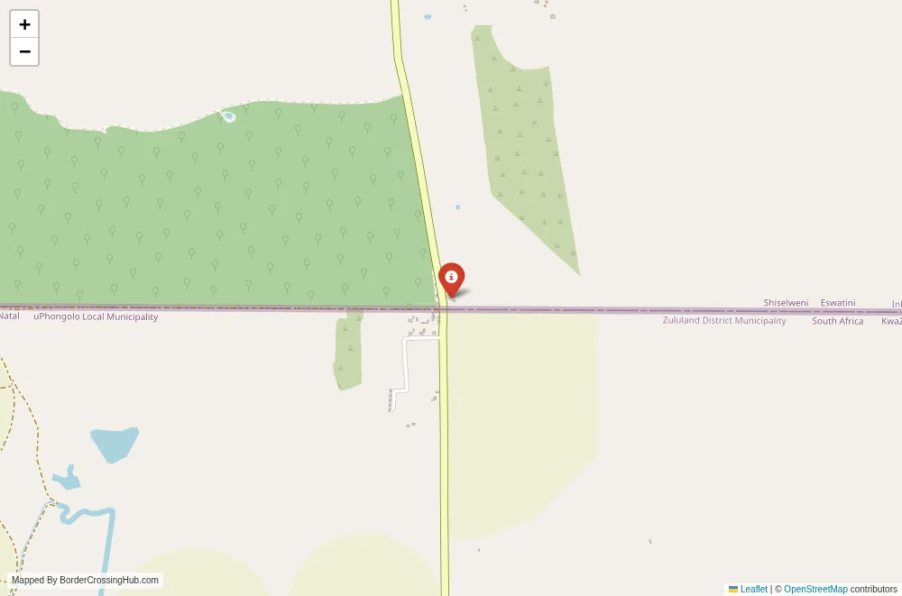
Approximate Border Location
Border Countries
- 🇸🇿Eswatini
- 🇲🇿Mozambique
Border Cities
- 🇸🇿Nsalitje
- 🇲🇿Salitje
Wait Times
Cars 10-45m; peaks 60-180m
Just crossed? Tap to report:
Operating Hours
08:00 AM-06:00 PM
Crossing Types
Ped,cars; border controls
Border Type
Land crossing via road (local)
Peak Times
08:00-10:00 AM; 03:00-05:30 PM
Daily Crossings
600-3,000/day
Currency Exchange
SZL/ZAR; MZN near towns; cash changers
Safety Information
Rural post; limited services nearby
Languages Spoken
Swazi, Portuguese, English
Accessibility Features
Uneven surfaces; minimal ramps
About Chiqualaquala & Sango
Monthly Update (March 2026):
As of 03/2026, the Chiqualaquala & Sango Border Crossing moves slowly but steadily with a mix of trucks and local vehicles. Freight traffic often gathers on the Zimbabwe side before clearing customs. Passenger cars usually pass through with shorter waits. Trade shipments and road conditions in the area shape the daily pace.
No Cell Service at the Border? No Problem.
Don’t get caught scrambling for paperwork when you lose signal. Download the complete Africa Transit Guide directly to your device and access every critical detail, fast-track strategy, and border rule – 100% offline.
The Chiqualaquala-Sango border crossing stands out as a remote, wildlife-adjacent land link between Mozambique and Zimbabwe, tucked into the southeastern lowveld where Gaza Province meets Masvingo Province. You encounter this point most often when routing through Gonarezhou National Park in Zimbabwe or Zinave National Park in Mozambique, or when seeking a quieter alternative to the heavily used Machipanda-Forbes crossing farther north. Alternative names include Chicualacuala-Sango, Chiqualaquala-Sango, or Malvernia-Sango (with Malvernia as an older name for Chiqualaquala).
Location and Basic Connection
Chiqualaquala (Chicualacuala) lies in Mozambique’s Gaza Province, near the Limpopo River basin, while Sango sits on Zimbabwe’s side in the southern reaches of Gonarezhou National Park. The crossing connects secondary roads, with Mozambique’s N221 approaching from Mapai and Zimbabwe’s side linking directly into park tracks toward Mabalauta or Chipinda Pools. It primarily serves passenger vehicles, occasional trucks, and local traffic in a vast, sparsely populated area dominated by the Great Limpopo Transfrontier Park concept.
Historical Background
The border line follows early 20th-century colonial agreements between British and Portuguese authorities, with straight sections across arid plains. The area gained relevance with the development of Gonarezhou as a protected zone and transfrontier initiatives linking Kruger, Limpopo, and Gonarezhou parks. Informal trade and migration have long characterized the crossing, including train-based movements for goods and people. In recent decades, it supported regional connectivity amid post-conflict recovery in both countries, though low infrastructure kept it secondary. Geopolitically, it remains stable, with occasional joint efforts to manage wildlife corridors and informal crossings.
Current Operating Status
As of early 2026, the crossing operates daily from 06:00 to 18:00, seven days a week, with no major reported changes or closures. Zimbabwe offers visa-on-arrival for many nationalities (typically $30-50 USD cash); Mozambique provides visa-on-arrival for eligible travelers (often $50 USD cash, single entry). The post sees modest use, mainly locals, traders, and occasional overlanders accessing Gonarezhou. Rail connections via Chicualacuala station add options for some, though passenger trains run limited schedules. Confirm details through embassies or recent reports, as remote posts can adjust hours for maintenance or holidays.
Practical Crossing Procedures
You cross by vehicle or on foot. From Mozambique at Chiqualaquala, complete exit formalities at immigration and customs for stamps and inspections. Proceed across to Sango in Zimbabwe for entry. Zimbabwe requires visa payment (USD cash preferred), document checks, questions on purpose, and possible vehicle searches. Bring passport photos, cash for fees, proof of funds, accommodation, and onward plans. The process averages 30 to 90 minutes, with basic facilities and friendly staff noted in recent accounts. Vehicles need insurance, temporary imports, and fees; expect straightforward handling outside peaks.
Wait Times and Peak Periods
Queues remain minimal due to low volume, often clearing quickly. Early mornings or late afternoons move fastest. Peaks align with local trade, market days, or seasonal park visitors, but this post avoids the truck backups at major corridors. No significant delays reported recently.
Transportation Options
In Mozambique, roads from Mapai or Xai-Xai lead to Chiqualaquala via N221 or dirt tracks (some cross rivers like Limpopo or Nuanetsi; watch for hazards). Trains from Maputo reach Chicualacuala on certain days. In Zimbabwe, Sango Gate is 8 km from the post, linking to Gonarezhou tracks toward Mabalauta. Shared taxis, private vehicles, or motorcycles work; no regular buses cross directly. Use official hires and prepare for rough conditions.
Scams and Safety Warnings
Scam reports stay limited at this quiet post, but watch for informal offers of “help” with paperwork or exchanges at poor rates; head straight to official counters. Small negotiations (like cold drinks for officials) appear in some accounts, though not widespread. The remote lowveld carries wildlife risks (elephants, lions near Gonarezhou) and landmine warnings on some tracks; stay on designated paths. Zimbabwe and Mozambique feel secure during open hours, but isolation limits aid if issues arise. Standard border caution applies; avoid unofficial deals.
Road Conditions and Scenery
Mozambique’s approach mixes paved N221 with dirt tracks crossing rivers (Limpopo, Nuanetsi); some sections require 4×4 and caution for sand or water. Zimbabwe’s side features park gravel roads through Gonarezhou’s wilderness. Scenery dominates: vast baobabs, mopane woodland, riverine forests, and open plains with wildlife sightings possible near the parks.
Seasonal Variations and Weather Impacts
Dry season (May-October) offers best access with passable tracks and higher park traffic. Wet months bring flooding on rivers and mud on dirt sections, slowing travel or requiring detours. Wildlife viewing peaks in dry periods; trade stays modest year-round.
Nearby Attractions
Sango Gate opens directly into Gonarezhou National Park, with wilderness camps like Gorwe or Pokwe, and receptions at Mabalauta or Chipinda Pools. Chiqualaquala features an elegant old train station and rural markets. The area draws overlanders and safari enthusiasts for transfrontier park access, with Zinave National Park nearby in Mozambique.
Cultural and Economic Role
Informal trade in goods, fuel, and agriculture sustains the crossing, supporting local livelihoods and train-based movements. It facilitates community ties and small commerce in this remote zone, reinforcing links in the Great Limpopo ecosystem.
Final Planning Tips
Arrive early with USD cash for visas, printed documents, offline maps, and 4×4 prep. Carry water, fuel, and supplies for remote stretches. Check road/track status and park bookings if heading into Gonarezhou. With preparation, you manage formalities and explore this wild frontier.
Wrapping Up the Crossing
Chiqualaquala-Sango offers a low-key, park-adjacent passage between Mozambique and Zimbabwe. Time it for dry conditions, handle the basics, and it opens access to untamed wilderness. Safe travels.
No reviews yet.