Understanding Canada
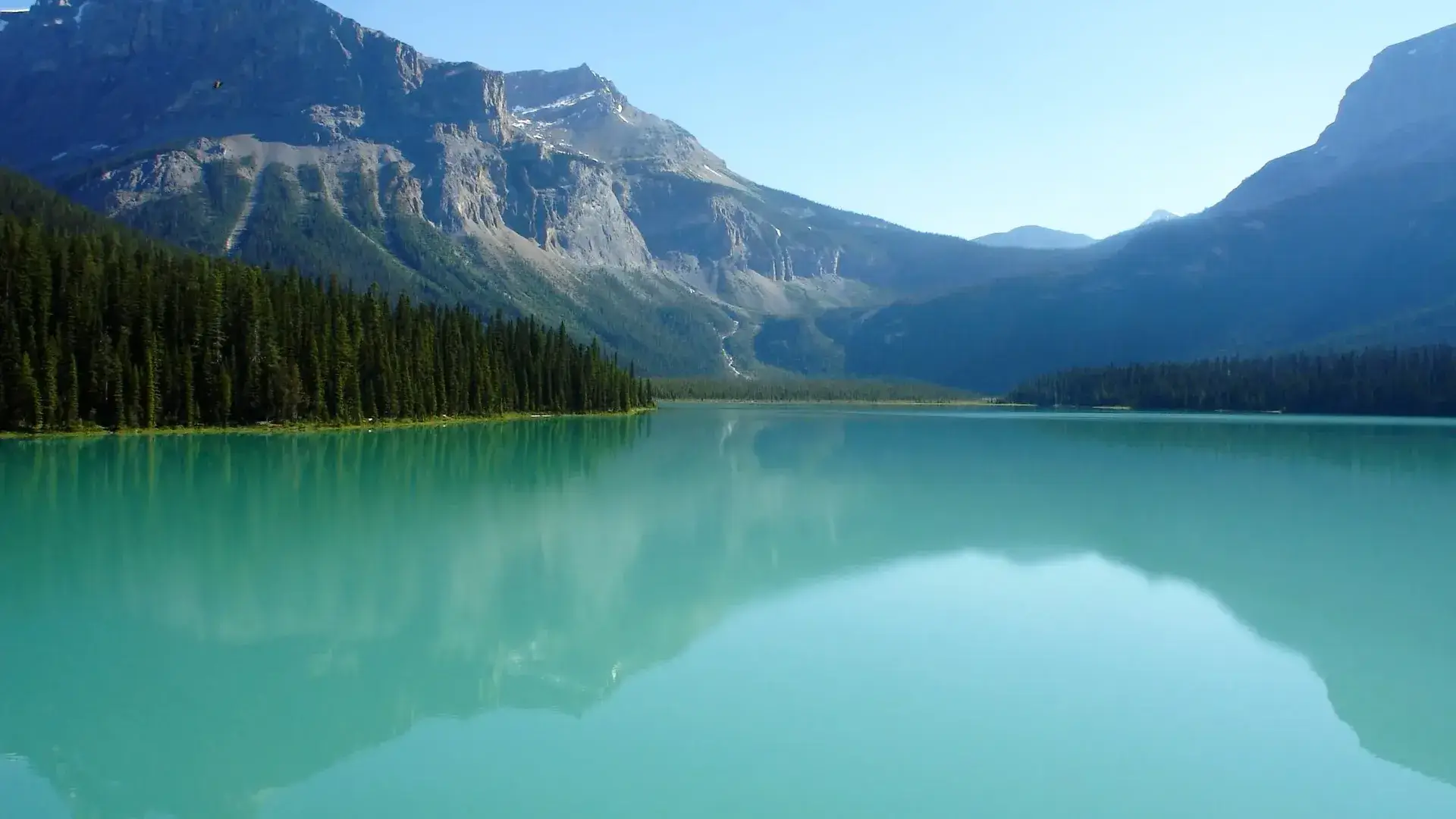
Canada’s forests, mountains, and long coastlines shape crossings with the United States and its Arctic coastal routes. Winters can slow northern posts with snow and icy roads, while southern crossings stay busy year-round. Many border points sit near lakes, national parks, or historic trading paths connecting small towns and major corridors.
Border Map

Printable guide · PDF, 2 pages
Canada border crossings on one map
Every crossing on a map, with opening hours, typical waits and this month's closures. Print it for the trip, or hand it to your drivers.
For websites and reports
Show this map on your site. Copy the code below; the image updates when we update the guide.

Crossings (45)
Canada shares borders with 1 country.
 United States
45 crossings
United States
45 crossings
Quick Information
Capital
Ottawa
Official Language
English and French
Currency
Canadian Dollar (CAD)
Calling Code
+1