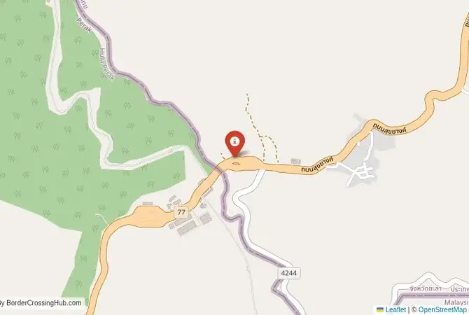
Approximate Border Location
Wait Times
30–60 min usual
Just crossed? Tap to report:
Operating Hours
Open 7:00 AM–7:00 PM
Crossing Types
Pedestrians, vehicles
Border Type
Land crossing via road
Peak Times
7:00–10:00 AM, weekends
Daily Crossings
2,500–3,500 crossings
Currency Exchange
Limited exchange (THB, MYR)
Safety Information
Safe, remote area
Languages Spoken
Thai, Malay, English
Accessibility Features
Ramps, assistance
About Betong & Bukit Berapit
Monthly Update (March 2026):
As of 03/2026, the Betong & Bukit Berapit Border Crossing feels calm with a steady trickle of cars and motorcycles. Passport checks move quickly most hours. Afternoons bring a bit more movement as shoppers and visitors cross the border. Weekend travel adds a small bump in traffic.
No Cell Service at the Border? No Problem.
Don’t get caught scrambling for paperwork when you lose signal. Download the complete Asia Transit Guide directly to your device and access every critical detail, fast-track strategy, and border rule – 100% offline.
The Betong-Bukit Berapit Crossing: A Scenic Mountain Route
The border crossing near the Thai town of Betong in Yala Province, which connects to the new Malaysian post at Bukit Berapit in Perak, is the most mountainous and arguably the most scenic land gateway between the two countries. This is not a major commercial highway like Sadao. It is a quieter, more relaxed crossing, winding through the lush, jungle-clad mountains of the Titiwangsa Range. The crossing serves the unique Thai exclave of Betong, a district that is surrounded on three sides by Malaysia, and provides a direct route from southern Thailand to the Malaysian state of Perak and the city of Ipoh. For the traveler, this is an off-the-beaten-path adventure, a journey through a landscape of stunning natural beauty with a complex and often violent history. The atmosphere is tranquil, the facilities are brand new on the Malaysian side, and the sense of entering a different, more remote part of the borderlands is palpable.
A History of Insurgency and a New Beginning
The history of this border is inseparable from the history of the Malayan Communist Party (MCP). For decades, during the Malayan Emergency and the subsequent insurgency, these rugged and remote mountains were the primary sanctuary for the communist guerillas. Their main bases were located in the jungles around Betong. The border was a porous, dangerous, and heavily militarized zone. The town of Betong itself was a frontier outpost, deeply affected by the conflict. The formal end of the insurgency in 1989 brought peace to the region and allowed for the normalization of the border. However, the crossing remained a small, local affair for many years. The recent construction of a massive, modern new Malaysian ICQS complex at Bukit Berapit and the upgrading of the road is a major development. It is part of an effort to boost economic development and tourism in this historically sensitive region, turning a former conflict zone into a new corridor of peace and prosperity. The new bridge, the “Friendship Bridge,” is a symbol of this new era.
The Border Crossing Procedure: A Modern and Quiet Process
The border is open from 5:00 AM to 10:00 PM Malaysian time (4:00 AM to 9:00 PM Thai time). The new facilities, especially on the Malaysian side, are state-of-the-art, and the low volume of traffic makes this one of the quickest and most pleasant crossings between the two countries.Exiting Thailand (Betong): The Thai immigration and customs post is located on the edge of Betong town. It is a functional and straightforward facility. You will present your passport to the immigration officer and receive your exit stamp. The customs check is usually a brief formality. The officials are professional and accustomed to the mix of local and tourist traffic.The No-Man’s-Land: After clearing the Thai post, you will drive a few kilometers on a winding mountain road that serves as the no-man’s-land. The scenery is beautiful, with lush jungle on all sides.Entering Malaysia (Bukit Berapit): You will arrive at the very large and modern Malaysian ICQS complex at Bukit Berapit. The facility is impressive and feels oversized for the current traffic levels. You will drive to a passport control booth. You must check the visa requirements for your nationality; many can enter Malaysia visa-free. The officer will scan your fingerprints and stamp your passport. You will then proceed to the customs area. If you are driving a foreign-registered vehicle, you will need to have your vehicle’s registration card and may need to purchase Malaysian vehicle insurance. The customs inspection is usually quick for tourists.
Route, Onward Travel, and Attractions
This crossing is for the traveler with their own vehicle or for those on a specific tour. Public transport is very limited. On the Thai side, the town of Betong is a fascinating destination in its own right, a charming town with a mix of Thai, Chinese, and Malay culture, famous for its food and the nearby “Sea of Mist” viewpoint at Iyerweng. A new airport has also been built in Betong to boost tourism. On the Malaysian side, the road connects to the town of Pengkalan Hulu and then on to the city of Ipoh, the capital of Perak state, which is famous for its colonial architecture, cave temples, and delicious food. The road on both sides is a winding, two-lane mountain road, but it is paved and in good condition. The drive is a major part of the experience, offering stunning views of the surrounding rainforest.
Final Planning Advice for the Mountain Route
The Betong-Bukit Berapit crossing is a fantastic choice for the overland traveler looking for a scenic, peaceful, and off-the-beaten-path alternative to the main highway borders. The new infrastructure makes the process very smooth, and the lack of crowds is a major bonus. The key to using this crossing is to have your own transportation. It is a driver’s route. Have all your documents in order, including vehicle registration and insurance. The journey it enables, through the historic and beautiful mountains of the Thai-Malay border, is a memorable one. It is a border that tells a powerful story of transformation, from a place of conflict to a new bridge of friendship, and offers a beautiful and tranquil entry into the heart of Peninsular Malaysia.
No reviews yet.