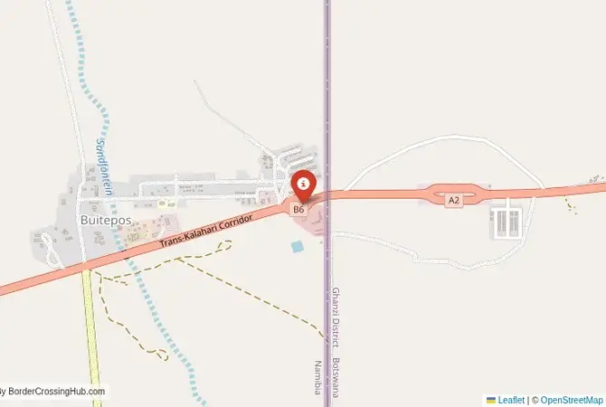
Approximate Border Location
Wait Times
15–30 min usual
Just crossed? Tap to report:
Operating Hours
Open 7:00 AM–7:00 PM
Crossing Types
Pedestrians, vehicles
Border Type
Land crossing via road
Peak Times
7:00–10:00 AM, weekends
Daily Crossings
3,900–4,100 crossings
Safety Information
Generally safe, traffic moderate
Languages Spoken
English, Setswana
Accessibility Features
Ramps, elevators
About Buitepos & Mamuno
Monthly Update (June 2026):
As of 06/2026, Buitepos & Mamuno Border Crossing is mostly stable, though truck traffic can slow things down at certain times of day. Early mornings often see the longest queues on the Botswana side, while private vehicles usually move through more smoothly. Waits can stretch during holiday periods or when freight volumes pick up unexpectedly.
The Buitepos-Mamuno Crossing: The Trans-Kalahari Highway
The border crossing at Buitepos in Namibia, which connects to the Botswanan post of Mamuno, is the main and busiest land gateway between the two nations. This is the central border on the “Trans-Kalahari Highway,” the vital trade corridor that links the Namibian port of Walvis Bay with the capital city of Gaborone in Botswana and, further on, with the industrial heartland of South Africa in Gauteng. This is a major, 24-hour international crossing, a constant flow of massive freight trucks, buses, and tourists. The crossing is located in the heart of the vast, semi-arid Kalahari Desert, a landscape of wide-open spaces, acacia scrub, and immense cattle ranches. The atmosphere is that of a modern, efficient, and somewhat lonely outpost, a functional and professional gateway in the middle of a great wilderness. For the traveler, this is the classic overland route for journeying between the deserts of Namibia and the wildlife sanctuaries of Botswana. It is a passage through the very heart of the Kalahari.
A History of a New Corridor
The history of this crossing is very recent. For most of the 20th century, there was no major road here. The Kalahari was a vast, roadless wilderness, a formidable barrier to trade and travel. The border was a line in the sand. The construction of the Trans-Kalahari Highway in the 1990s was a major, post-apartheid development project, a symbol of the new era of regional cooperation in southern Africa. It was a joint initiative by the governments of Namibia and Botswana, designed to create a new, shorter, and more efficient trade route between the port of Walvis Bay and the industrial heart of the SADC region in South Africa. The highway cut hundreds of kilometers off the old route, which went all the way south to the border at Ariamsvlei. The Buitepos-Mamuno border post was built from scratch as a modern, high-capacity facility to serve this new highway. It is a border that was created by a bold vision of regional integration, a piece of modern engineering designed to conquer the ancient barrier of the Kalahari Desert.
The Border Crossing Procedure: A Smooth and Efficient Process
The border is open 24 hours a day. The process is known for being very smooth, professional, and efficient. The facilities on both sides are modern and well-organized.Exiting Namibia (Buitepos): You will arrive at the modern Namibian border post. You will go to the immigration hall and get your passport stamped for exit. The customs process for vehicles involves checking your road tax permit. The process is usually very quick.The No-Man’s-Land: You will then drive a short distance through the flat, open Kalahari landscape to the Botswanan side.Entering Botswana (Mamuno): You will arrive at the modern and efficient Botswanan border post. You will go to the immigration hall. For most nationalities, Botswana offers visa-free entry. The officer will stamp your passport. After immigration, you will proceed to the customs and road authority offices. If you are in a vehicle, you will need to pay a road tax. You will also need to have third-party insurance for Botswana. A key feature of Botswanan land borders is the veterinary control. You will have to walk through a foot-and-mouth disease control footbath, and your vehicle will have to drive through a disinfectant dip. This is a mandatory step to protect Botswana’s valuable cattle industry. The entire process is very well-organized and hassle-free.
Signal can be a coin toss at borders, and the last thing you want is to be stuck at the gate hunting for info. We’ve pulled all our research for this region into one simple eBook that works 100% offline. It keeps everything you need in one spot so you can stay focused on the trip. Grab the guide here.
Route, Onward Travel, and The Kalahari
This crossing is on the main Trans-Kalahari Highway (the A2 in Botswana and the B6 in Namibia). The road on both sides is a world-class, paved highway in excellent condition. Ongoing enhancements continue along the corridor, including rehabilitations and bypasses to reduce congestion. However, it is a very long and monotonous drive through a sparsely populated landscape. On the Namibian side, the road leads directly to the capital, Windhoek. On the Botswanan side, the road leads to the capital, Gaborone. For those without a car, there are direct, high-quality international bus services that run between Windhoek and Gaborone. This is a very comfortable and convenient option. The main challenge of this route is the long distances and the lack of services. It is essential to have a full tank of fuel, as fuel stations can be hundreds of kilometers apart. You should also carry plenty of water and be aware of the danger of wildlife, such as kudu and warthogs, on the road, especially at dawn and dusk. The main attraction of this route is the Kalahari itself, with its unique landscapes and the opportunity to visit the Central Kalahari Game Reserve, one of the wildest and most remote protected areas in Africa.
Final Planning Advice for the Kalahari Highway
The Buitepos-Mamuno crossing is a modern, efficient, and quiet border. It is the main and best gateway for overland travel between the capitals of Namibia and Botswana. The key to a successful crossing is to have all your documents in order, especially your vehicle registration if you are driving. Be prepared for the mandatory veterinary checks when entering Botswana. The 24-hour operation of the border provides great flexibility. This is a journey through a landscape of profound emptiness and subtle beauty. It is a border that works, a smooth and easy passage on a modern highway that cuts a lonely path through the vastness of the Kalahari Desert. It is a testament to the power of modern infrastructure to connect even the most remote of places.
No reviews yet.