Approximate Border Location
Border Countries
- 🇰🇬Kyrgyzstan
- 🇹🇯Tajikistan
Border Cities
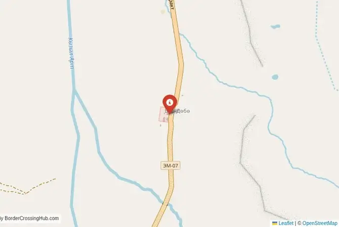
- 🇰🇬Bor‑Dobo
- 🇹🇯Kyzyl‑Art
Wait Times
30–90 min, altitude delays
Just crossed? Tap to report:
Operating Hours
Open 8:00 AM–6:00 PM
Crossing Types
Pedestrians, vehicles
Border Type
Land crossing via road
Peak Times
7:00–10:00 AM, weekends
Daily Crossings
1,500–3,000 crossings
Safety Information
High-altitude exposure risks
Languages Spoken
Kyrgyz, Tajik, Russian
Accessibility Features
Ramps, assistance
About Bor‑Dobo & Kyzyl‑Art
Monthly Update (May 2026):
The Bor‑Dobo & Kyzyl‑Art Border Crossing is ticking along quietly this May 2026. While the high mountain pass is mostly stable, the Tajik side often stretches the wait with thorough document checks. A late-season snow flurry is the main thing that could make the timing feel a bit unpredictable.
The Kyzyl-Art Pass: The Roof of the World
The border crossing high on the Kyzyl-Art Pass, known as Bor-Dobo on the Kyrgyz side and Kyzyl-Art on the Tajik side, is one of the most spectacular and iconic land crossings on earth. This is the main border on the legendary Pamir Highway (M41), connecting Sary-Tash in Kyrgyzstan’s Alay Valley with the high plateau of the Gorno-Badakhshan Autonomous Oblast (GBAO) in Tajikistan. Situated at an altitude of 4,280 meters (14,042 feet), this is not a border for the faint of heart. It is a remote, windswept, and utterly desolate outpost, a place where the infrastructure is basic and the landscape is monumental. The journey here is the destination. You travel through an otherworldly terrain of red-brown mountains, vast, empty valleys, and snow-capped peaks. This is not a commercial or commuter route; it is a passage for adventurers, cyclists, 4×4 enthusiasts, and the hardy few who call the Pamirs home. The experience is one of profound isolation, breathtaking beauty, and a true sense of high-altitude adventure.
A History of a Strategic Soviet Road
The Pamir Highway was one of the great engineering feats of the Soviet Union. It was built primarily for strategic military purposes in the 1930s to supply the remote and sensitive GBAO region bordering Afghanistan and China. The road was carved through some of the most formidable mountain terrain on the planet. The Kyzyl-Art Pass was a key point on this highway, marking the administrative boundary between the Kyrgyz and Tajik Soviet Socialist Republics. For decades, it was a restricted military road. After the collapse of the USSR, it became an international border and, slowly, one of the world’s great adventure travel routes. Its history is not one of ancient Silk Road caravans but of Soviet military engineering and post-Soviet adventure tourism. The border posts themselves are relics of this Soviet past, spartan and functional, built to withstand the harsh climate rather than to welcome tourists. Crossing here feels like a journey back in time, a passage through a landscape and an infrastructure shaped by a different era.
The Border Crossing Procedure: A High-Altitude Formality
The process of crossing the Kyzyl-Art Pass is famously rustic and can be an adventure in itself. The facilities are extremely basic, and the officials work in challenging conditions. The key is to have all your documents in perfect order, as there is no room for error in such a remote location.Exiting Kyrgyzstan (Bor-Dobo): The Kyrgyz border post is located at Bor-Dobo, well before the actual pass, on the northern side. It is a small, simple building. You will present your passport to the border guard, who will stamp you out of the country. The customs check is usually very cursory. The officials are generally relaxed and accustomed to seeing adventure travelers.The No-Man’s-Land: After the Kyrgyz post, you begin the long and spectacular drive up to the Kyzyl-Art Pass. This 20-kilometer stretch of road is a rough, unpaved track through a stunning, desolate valley. This is the no-man’s-land. You will pass the actual summit of the pass, marked by a sign, and then begin the descent on the Tajik side.Entering Tajikistan (Kyzyl-Art): The Tajik border post is located on the southern side of the pass, a collection of stark buildings that look like a remote scientific research station. You will park and enter the immigration office. Here, you must present your passport, your Tajik visa (if your nationality requires one), and, most importantly, your GBAO permit. You cannot enter the GBAO region without this permit, which must be arranged in advance when you apply for your visa. The officer will check your documents and stamp your passport. There may be a small, unofficial “environmental fee” requested. The customs check is again usually very brief. The Tajik border guards are also known for being friendly and welcoming to travelers on this epic route.
Signal can be a coin toss at borders, and the last thing you want is to be stuck at the gate hunting for info. We’ve pulled all our research for this region into one simple eBook that works 100% offline. It keeps everything you need in one spot so you can stay focused on the trip. Grab the guide here.
Route, Altitude, and Essential Preparation
This crossing is an integral part of the Pamir Highway journey. The road on both sides is challenging. The Kyrgyz side from Sary-Tash is mostly paved but deteriorates near the border. The no-man’s-land and the Tajik side are largely unpaved gravel tracks. A 4×4 vehicle is highly recommended. The biggest challenge is the altitude. At 4,280 meters, altitude sickness is a real risk. It is essential to acclimatize properly in Sary-Tash or the Alay Valley before attempting the crossing. You must be completely self-sufficient. There are no services of any kind between Sary-Tash and the Tajik town of Karakul, a journey of several hours. You must carry all your own food, water, and extra fuel. The weather can be extreme and unpredictable, with high winds and cold temperatures even in summer. The most critical piece of paperwork is your GBAO permit. Without it, you will be turned back at the Tajik post, a disastrous scenario in such a remote place.
Final Advice for the Pamir Gateway
Crossing the Kyzyl-Art Pass is a pinnacle of overland travel. It is a journey that rewards the well-prepared with some of the most unforgettable scenery on the planet. The keys to success are acclimatization, a reliable vehicle, complete self-sufficiency, and having your GBAO permit and other documents in perfect order. The border crossing itself is part of the adventure, a friendly and informal process in a truly epic setting. This is not just a line on a map; it is the gateway to the Pamirs, the “Roof of the World,” and successfully navigating it is a badge of honor for any serious adventurer.
No reviews yet.