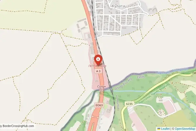
Approximate Border Location
Wait Times
30–120 min
Just crossed? Tap to report:
Operating Hours
Open 12:00 AM–11:59 PM
Crossing Types
Pedestrians, vehicles, freight
Border Type
Land crossing via road
Peak Times
Mornings, weekends
Daily Crossings
8,000–12,000 daily
Safety Information
Busy corridor; monitored
Languages Spoken
Bulgarian/Greek
Accessibility Features
Elevators, ramps
About Kulata & Promachonas
Monthly Update (June 2026):
As of 06/2026, the Kulata & Promachonas Border Crossing is mostly stable but can get busy as summer travel picks up between Bulgaria and Greece. Passenger vehicles tend to move steadily early in the day, while queues often stack up later in the afternoon and on weekends. Holiday traffic and the start of the tourist season are the main reasons waits can stretch out.
The Main Gateway to the Aegean
The border crossing connecting Kulata in Bulgaria with Promachonas in Greece is the most important and busiest checkpoint between the two nations. This is the main highway, the E79, the primary route that links the Bulgarian capital, Sofia, with the Greek port city of Thessaloniki and the popular beaches of the Aegean Sea. It is a massive, 24/7 international facility, a critical artery for trade, tourism, and transit. To cross here is to travel through the scenic Struma River valley, a route that has been a major corridor since antiquity, a passage from the heart of the Balkans to the shores of the Mediterranean. It is a crossing defined by its immense strategic importance and the constant, overwhelming flow of traffic.
Operational Details
This checkpoint connects the Blagoevgrad Province of Bulgaria with the Serres regional unit of Greece. It is a full-service international crossing, open to all passenger cars, buses, and commercial freight. The facility is vast, with numerous lanes for both cars and trucks, but it is notoriously and chronically congested, especially during the summer months when millions of tourists from across Europe drive to the Greek coast. The queues of trucks are a permanent feature year-round. It is the main entry point for goods moving between Greece and the rest of Eastern and Central Europe.
A History of a Strategic Valley
The history of this route is the history of the Struma (Strymon) River valley, a natural corridor that has been a path for armies and traders for millennia. It was a key route for the ancient Macedonians, Romans, and Byzantines. The modern border was established in the early 20th century after the Balkan Wars. During the Cold War, this was one of the most heavily fortified points on the Iron Curtain, a hard frontier between a Warsaw Pact country (Bulgaria) and a NATO member (Greece). The opening of the border after 1989 and the accession of both countries to the EU has transformed this once-tense frontier into a bustling, though often slow-moving, economic corridor.
Signal can be a coin toss at borders, and the last thing you want is to be stuck at the gate hunting for info. We’ve pulled all our research for this region into one simple eBook that works 100% offline. It keeps everything you need in one spot so you can stay focused on the trip. Grab the guide here.
The EU/Schengen Border Procedure
The border crossing procedure is simplified due to both countries being in the EU and the Schengen Area. In theory, there should be no systematic passport checks. However, due to its strategic importance for controlling migration and smuggling, both Bulgarian and Greek authorities maintain a significant presence and frequently conduct random or targeted checks. You will still need to slow down and pass through the large checkpoint facilities. You are required to carry a valid passport or national ID card at all times. Customs checks, particularly for commercial freight and for goods like tobacco, are still common.
The Surrounding Region: Bulgaria Side
On the Bulgarian side, the crossing is the gateway to the beautiful Pirin Macedonia region. The nearby Rozhen Monastery is one of the most important in Bulgaria. The unique sandstone pyramids of Melnik, the smallest town in Bulgaria and a center of wine production, are a must-see. The crossing is the gateway to the magnificent Pirin Mountains National Park, a UNESCO World Heritage site, and the popular ski resort of Bansko. The road from the border is a modern motorway that leads directly to the capital, Sofia.
The Surrounding Region: Greece Side
On the Greek side, the crossing is in the Serres region of Greek Macedonia. The nearby Lake Kerkini is one of the most important wetlands in Europe, a paradise for birdwatchers, with huge colonies of pelicans and flamingos. The crossing is the main entry point for tourists heading to the popular beach resorts of Halkidiki and the Pierian Riviera, at the foot of Mount Olympus. The major port city of Thessaloniki, the second-largest city in Greece, is a vibrant metropolis with a rich history, a famous waterfront, and a renowned culinary scene.
Practical Travel Information
Practical planning is essential for this route. Be prepared for potentially long wait times, especially from June to September, despite the Schengen status. The official currencies are the Bulgarian Lev (BGN) in Bulgaria and the Euro (EUR) in Greece. Large service stations are available on the motorway on both sides of the border. You will need to purchase electronic vignettes for your vehicle for Bulgaria. Greece uses a toll system on its main motorways. Ensure your vehicle’s Green Card insurance is valid for both countries.
Final Considerations
The Kulata–Promachonas border crossing is the busiest and most important land border between Bulgaria and Greece. It is a place of immense logistical strain, a symbol of the region’s position as a great crossroads of Europe. The journey through it can be a test of endurance, but it is a direct encounter with the pulse of the continent. It is a border that is defined by movement, a critical artery that, despite the long waits, continues to connect the economies, cultures, and peoples of the Balkans and the rest of Europe.
No reviews yet.