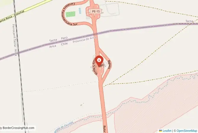
Approximate Border Location
Wait Times
30-90 min for pedestrians/vehicles
Just crossed? Tap to report:
Operating Hours
Open 8:00 AM – 5:00 PM
Crossing Types
Pedestrians, vehicles
Border Type
Land crossing via road
Peak Times
Mornings (7-10 AM)
Daily Crossings
~1000 travelers/vehicles
Safety Information
Remote, beware wildlife
Languages Spoken
Spanish
Accessibility Features
Ramps
About Arica & Tacna
Monthly Update (June 2026):
As of 06/2026, Arica & Tacna Border Crossing is variable, with steady movement between Chile and Peru but busier periods causing delays. Cars and buses can slow down when queues build, especially during daytime hours. Holidays, tourism, and local travel patterns are the main sources of change.
A Crossing in the Atacama Desert
The border crossing connecting the Chilean city of Arica with Tacna in Peru is the main and busiest checkpoint between the two nations. This is not just a border; it is a journey through the stark, beautiful, and hyper-arid landscape of the Atacama Desert. It is a massive, 24/7 international facility, a critical artery for trade and travel, but its character is defined by the unique and intense cross-border dynamic. To cross here is to travel from one of the driest places on Earth to another, a passage that is a powerful symbol of the complex and deeply intertwined history of the War of the Pacific, and a testament to the modern, pragmatic relationship between the two countries.
Operational Details
This checkpoint connects the Arica y Parinacota Region of Chile with the Tacna Department of Peru. It is a major international crossing, open to all passenger cars, buses, and commercial freight. The crossing is an integrated checkpoint, known as the Chacalluta-Santa Rosa complex, with both Chilean and Peruvian officials housed in large, modern facilities on both sides of the border line. This streamlines the process, as travelers can complete all formalities in a relatively organized sequence. It is one of the busiest land borders in South America, with a constant flow of people crossing for tourism, shopping, and, most notably, medical and dental services.
A History of the War of the Pacific
The history of this crossing is the history of the War of the Pacific (1879-1883), a conflict that profoundly reshaped the map of South America. Chile defeated a Bolivian-Peruvian alliance and annexed large territories, including the regions of Arica and Tarapacá from Peru, and the entire coastline of Bolivia, leaving that country landlocked. The city of Arica became part of Chile, while Tacna remained with Peru after a plebiscite. The border drawn here is a direct consequence of that war. For over a century, the relationship was tense. The modern, cooperative management of this border is a symbol of the new, peaceful relationship between the two nations.
Signal can be a coin toss at borders, and the last thing you want is to be stuck at the gate hunting for info. We’ve pulled all our research for this region into one simple eBook that works 100% offline. It keeps everything you need in one spot so you can stay focused on the trip. Grab the guide here.
Border Crossing Procedure
The border crossing procedure is a well-organized but often very crowded process. You will first complete exit formalities at one country’s checkpoint and then proceed to the other country’s checkpoint for entry inspection. You will need a valid passport or, for citizens of some South American countries, a national ID card. Vehicle registration and international insurance (SOAT for Peru) are also necessary. A key part of the process is the strict agricultural inspection by Chilean authorities (SAG), who prohibit the entry of most fresh fruits, vegetables, and animal products. The queues can be very long, especially for the many “colectivo” taxis that ferry people between the two cities.
The Surrounding Region: Chile Side
On the Chilean side, the city of Arica is known as the “City of Eternal Spring” for its pleasant climate. It is a popular beach resort and a major surfing destination. The city’s main landmark is the “Morro de Arica,” a large cliff that was the site of a major battle during the War of the Pacific and now offers panoramic views. The San Marcos Cathedral was designed by the famous French architect, Gustave Eiffel. The nearby Azapa Valley is home to the San Miguel de Azapa Archaeological Museum, which houses some of the world’s oldest mummies, the Chinchorro mummies.
The Surrounding Region: Peru Side
On the Peruvian side, the city of Tacna is a bustling commercial center. It is famous as a destination for “medical tourism,” with thousands of Chileans crossing the border every day to take advantage of the much cheaper, high-quality dental and medical services available in the city. The city has a beautiful central plaza with a monumental arch and a decorative fountain. It is known as the “Heroic City” for its role in the struggle for Peruvian independence. The region is known for its production of pisco and olives.
Practical Travel Information
Practical planning for this route is straightforward. The Pan-American Highway is well-maintained. The official currencies are the Chilean Peso (CLP) in Chile and the Peruvian Sol (PEN) in Peru. Currency exchange facilities are widely available. The easiest way to cross for a day trip is by using the frequent and cheap “colectivo” taxis that run between the two city centers. Be prepared for long waits, especially on weekends. Remember the strict agricultural controls when entering Chile. Recent reports from 2025–2026 note occasional migration-related restrictions and militarization in the area, but the crossing remains open 24/7 with no major seasonal impacts.
Final Considerations
The Arica–Tacna border crossing is a journey through a landscape of desert beauty and deep history. It is a bustling, modern gateway that is a powerful symbol of the peaceful and pragmatic relationship between Chile and Peru. It is a border that is defined by the constant, daily movement of people seeking better prices, medical care, or simply a day out in a neighboring country. It is a fascinating example of how a once-hostile frontier can be transformed into a zone of intense and mutually beneficial cooperation.
No reviews yet.