Approximate Border Location
Wait Times
30-180 min for pedestrians/vehicles
Just crossed? Tap to report:
Operating Hours
Open 7:30 AM – 7:30 PM (PE) – 8:30 AM – 8:30 PM (BO)
Crossing Types
Pedestrians, vehicles, commercial
Border Type
Land crossing via bridge
Peak Times
Mornings (7-10 AM), weekends
Daily Crossings
~5000 travelers/vehicles
Safety Information
Busy, beware scams
Languages Spoken
Spanish
Accessibility Features
Ramps, limited assistance
About Desaguadero & Desaguadero
Monthly Update (June 2026):
As of 06/2026, Desaguadero Border Crossing is variable, with busy periods depending on local passenger and commercial movement. Vehicles can stack up during peak hours, while pedestrian crossings often move more quickly. Holidays, market activity, and traffic patterns can change waiting times.
A Chaotic Crossing on Lake Titicaca
The border crossing connecting the town of Desaguadero in Peru with its twin town of Desaguadero in Bolivia is one of the busiest, most chaotic, and most vibrant checkpoints in the Andes. This is not just a border; it is a massive, sprawling, open-air market that happens to have an international bridge running through its middle. To cross here is to dive headfirst into the bustling commercial heart of the Lake Titicaca region, a passage from the Peruvian Altiplano to the Bolivian Altiplano that is defined by the constant, colorful flow of people, goods, and vehicles. It is a journey that is an assault on the senses, a true South American frontier town experience.
Operational Details
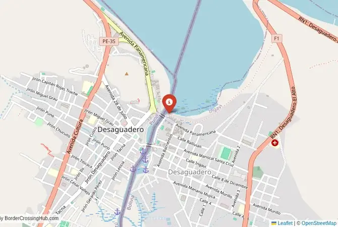
This checkpoint connects the Puno Department of Peru with the La Paz Department of Bolivia. It is a major international crossing, open 24/7. The crossing is on a bridge over the Desaguadero River, which is the only river that flows out of Lake Titicaca. The facility is not a single, modern complex but a series of separate, often crowded, immigration and customs offices on both sides of the river, located in the middle of the bustling town. The crossing is a critical artery for trade between the two countries and is the main route for buses and trucks traveling between La Paz and southern Peru.
A History of the Altiplano
The history of this region is the history of the great civilizations of the Altiplano, from the Tiwanaku empire to the Incas. This has been a major center of trade and culture for millennia. The modern border, established in the 19th century, divided the historic territory of the Aymara people. The towns of Desaguadero grew up as customs posts on this new frontier. The crossing has always been a major point of interaction, a place of both formal trade and a huge amount of informal smuggling, which is an integral part of the local economy. It is a place where the ancient traditions of Andean commerce meet the modern realities of an international border.
Signal can be a coin toss at borders, and the last thing you want is to be stuck at the gate hunting for info. We’ve pulled all our research for this region into one simple eBook that works 100% offline. It keeps everything you need in one spot so you can stay focused on the trip. Grab the guide here.
The Border Crossing Procedure
The border crossing procedure can be a chaotic and confusing experience. You must first complete exit formalities at one country’s immigration office. You then walk or drive across the bridge, through the middle of the market, to the other country’s checkpoint for their entry inspection. The offices can be hard to find amidst the chaos of the town. You will need a valid passport. Visa requirements vary by nationality, and it is essential to check them in advance. The process can involve long queues and a significant amount of bureaucracy. Be prepared for a slow and sometimes frustrating process. A yellow fever vaccination certificate is required for entry into Bolivia at this high-altitude crossing.
The Surrounding Region: Peru Side
On the Peruvian side, the crossing is the gateway to the magnificent Lake Titicaca, the highest navigable lake in the world. The nearby city of Puno is the main tourist hub, the departure point for boat trips to the famous floating Uros islands and the traditional islands of Taquile and Amantaní. The region is the heartland of the Quechua and Aymara cultures. The road from the border also leads to the historic city of Cusco, the former capital of the Inca Empire, and the gateway to Machu Picchu.
The Surrounding Region: Bolivia Side
On the Bolivian side, the crossing is a short drive from the magnificent ruins of Tiwanaku, a UNESCO World Heritage site and the center of a major pre-Incan civilization. The road from the border leads directly to the capital city, La Paz, the highest capital in the world, situated in a dramatic canyon. La Paz is a vibrant city with a rich indigenous culture, bustling markets (including the famous Witches’ Market), and the unique Mi Teleférico cable car system. The crossing is also a gateway to the Bolivian side of Lake Titicaca and the sacred Isla del Sol.
Practical Travel Information
Practical planning is essential for this route. The high altitude (over 3,800 meters) can cause altitude sickness (soroche). It is crucial to acclimatize properly. The official currencies are the Peruvian Sol (PEN) in Peru and the Bolivian Boliviano (BOB) in Bolivia. Currency exchange facilities are widely available. Many international buses ply this route, and they will wait for all passengers to complete the border formalities. This is the most convenient way to cross for most travelers.
Final Considerations
The Desaguadero–Desaguadero border crossing is a journey into the vibrant, chaotic heart of the Andes. It is a bustling, colorful gateway to some of the most spectacular landscapes and ancient cultures in South America. The journey through it can be a test of patience, but it is a rite of passage for many travelers. It is a border that is defined by its high altitude, its vibrant indigenous culture, and its role as a major commercial hub. It is a passage that is an adventure in itself, a full immersion into the lively and fascinating world of the Altiplano.
No reviews yet.