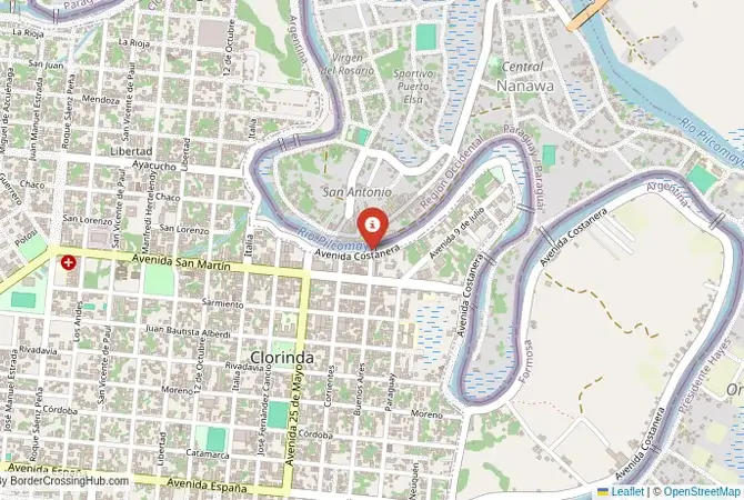
Approximate Border Location
Wait Times
30-60 min for pedestrians/vehicles
Just crossed? Tap to report:
Operating Hours
Open 8:00 AM – 6:00 PM
Crossing Types
Pedestrians, vehicles
Border Type
Land crossing via road
Peak Times
Mornings (7-10 AM), weekends
Daily Crossings
~3000 travelers/vehicles
Safety Information
Generally safe, beware smuggling
Languages Spoken
Spanish, Guarani
Accessibility Features
Ramps, elevators
About Clorinda & Puerto José Falcón
Monthly Update (June 2026):
In 06/2026, Clorinda & Puerto José Falcón Border Crossing is variable, with frequent local and commercial movement affecting the pace. Vehicles can queue during busy hours, especially when several crossings happen at once, while quieter periods feel faster. Weekends, holidays, and regional travel patterns can change the flow.
The Main Gateway to Asunción
The border crossing connecting the area near Puerto Falcón in Paraguay with Clorinda in Argentina is the most important and busiest checkpoint between the two nations. This is the main highway, Route 11, that links the Argentine capital, Buenos Aires (via the city of Formosa), with the Paraguayan capital, Asunción. It is a massive, 24/7 international facility, a critical artery for trade and travel. To cross here is to travel over the San Ignacio de Loyola International Bridge on the Pilcomayo River, a passage through the hot, humid landscape of the Gran Chaco. It is a crossing defined by its immense strategic importance and the constant flow of commerce between two of the Mercosur trade bloc’s founding members.
Operational Details
This checkpoint connects Paraguay’s Presidente Hayes Department with the Formosa Province of Argentina. It is a full-service international crossing, open to all passenger cars, buses, and commercial freight. The facility is large, but it is often overwhelmed by the sheer volume of traffic, especially freight. It is the primary route for goods moving between the two capitals and for the huge number of tourists and shoppers who travel between the two countries. The queues, for both cars and trucks, can be very long, often lasting for many hours.
A History of a Chaco Frontier
The history of this region is the history of the Gran Chaco, a vast, sparsely populated plain. The Pilcomayo River has long been a natural boundary. The modern border was established after the devastating Paraguayan War in the 19th century and the Chaco War in the 20th century. The towns of Clorinda and the area around Asunción grew as major centers. The construction of the San Ignacio de Loyola bridge in the 1970s was a major step in integrating the two economies. With the establishment of the Mercosur trade bloc in the 1990s, this crossing became one of the most important symbols of the new era of South American cooperation.
Signal can be a coin toss at borders, and the last thing you want is to be stuck at the gate hunting for info. We’ve pulled all our research for this region into one simple eBook that works 100% offline. It keeps everything you need in one spot so you can stay focused on the trip. Grab the guide here.
Border Crossing Procedure
The border crossing procedure is a standard two-part process. You will first complete exit formalities at one country’s checkpoint and then proceed across the bridge to the other country’s checkpoint for entry inspection. You will need a valid passport or, for citizens of Mercosur countries, a national ID card. Vehicle registration and international insurance (Carta Verde) are also necessary. The process can be slow and bureaucratic, and the high volume of traffic is the main challenge. The facilities can be crowded and chaotic, so patience is essential.
The Surrounding Region: Paraguay Side
On the Paraguayan side, the crossing is just a short drive from the capital city, Asunción. Asunción is one of the oldest cities in South America, with a rich history. It has a charming, if somewhat faded, colonial-era city center, the impressive Palacio de los López (the presidential palace), and a beautiful riverside promenade known as the “Costanera.” The city is known for its relaxed atmosphere and its unique Guaraní heritage, which is evident in the language spoken by its people.
The Surrounding Region: Argentina Side
On the Argentine side, the crossing is in the city of Clorinda, a bustling border town that is a major commercial hub. The city is a gateway to the Formosa Province, a subtropical region known for its rich biodiversity and its national parks, such as the Río Pilcomayo National Park. The road from the border leads south towards the city of Formosa, the provincial capital, and further on to the major cities of Santa Fe and Rosario, and the capital, Buenos Aires.
Practical Travel Information
Practical planning is essential for this route. Be prepared for potentially long wait times, especially during peak seasons. The climate is very hot and humid for most of the year. The official currencies are the Paraguayan Guaraní (PYG) in Paraguay and the Argentine Peso (ARS) in Argentina. Services are widely available in the towns on both sides of the border. Ensure your vehicle’s Carta Verde insurance is valid for both countries. The road is a major highway and is well-maintained.
Final Considerations
The Puerto Falcón–Clorinda border crossing is the main artery connecting the capitals of Paraguay and Argentina. It is a place of immense economic importance and constant movement. The journey through it can be a test of patience, but it is a direct encounter with the pulse of the Mercosur trade bloc. It is a border that is defined by the slow-moving queues of trucks and buses, a testament to the importance of the connection between the two nations. For the modern traveler, it is the primary gateway to the heart of Paraguay.
No reviews yet.